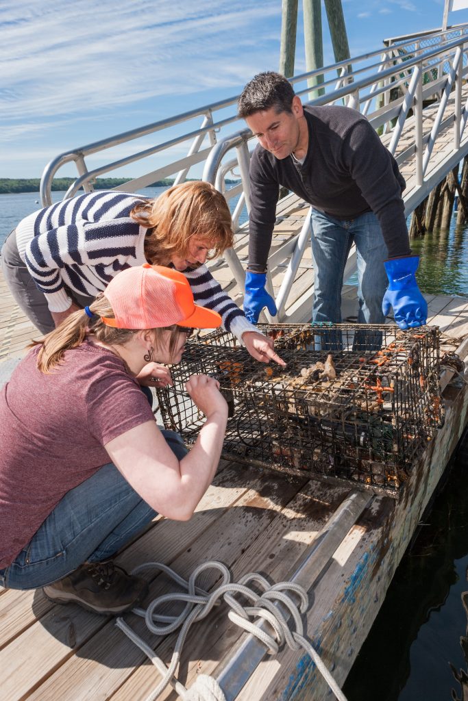
Covered with sea squirts, sea stars, and other marine hitchhikers, the newest member of our monitoring team looks like an abandoned lobster trap. It may be homely, but we are pretty impressed with what it does, collecting water quality data hourly, 24 hours a day, 365 days a year. It is our Continuous Monitoring Station, which will help us answer the question “How are our coastal waters changing over time?” Research Associate Mike Doan calls it “the cage of science.”
It has been just over a year since we placed a carbon dioxide sensor and a data sonde—an electronic device that records temperature, pH, and other characteristics of water quality—inside this modified lobster trap and moored it in healthy waters near the center of Casco Bay off Cousins Island in Yarmouth.
After one full year, we have over 8,760 hours of data on oxygen levels, carbon dioxide, pH (the level of acidity of the water), salinity, temperature, chlorophyll fluorescence (estimated phytoplankton abundance), water clarity, and water depth.
Thanks to our 26-year data set on water quality in Casco Bay, we understand when and which areas of the Bay are likely to exhibit challenged water quality conditions that require further study. Armed with this baseline data, we can now consider how to address the question, How is the Bay changing?
The steady flow of data from the Station already is helping us detect and document how climate change and emerging coastal stressors may be affecting the Bay. Hourly data helps us identify daily, seasonal,
and annual trends to better understand the extent to which ocean acidification may be impacting the water chemistry of Casco Bay. In future years, we hope to deploy two more “cages of science,” one in challenged waters in Portland Harbor and one near Harpswell to help detect the influence the Kennebec River has on Eastern Casco Bay.
What is a data sonde?
A data sonde, such as the one being used by Research Associate Mike Doan, is an oceanographic
monitoring instrument that takes multiple measurements of water quality simultaneously. In
addition to being used as part of our Continuous Monitoring Station, data sondes are used by
staff scientists in other water quality monitoring efforts from shore and by boat. The data is
downloaded to a computer and analyzed to provide a long-term picture of water quality over
time. We thank Casco Bay Estuary Partnership and our generous members for helping fund
our Continuous Monitoring Station’s first year.


