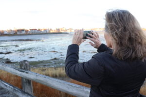
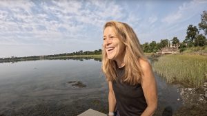
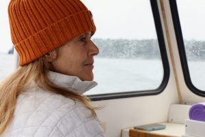
Photos uploaded to our Water Reporter App documenting eelgrass in Casco Bay. Photos by Water Reporters John Contas, Peter Hubbard, Eleanor Roberts, and Randy Wetzel.
2025 Seagrass Snapshot: Discovering Casco Bay’s Eelgrass
During the 2025 Seagrass Snapshot, 45 Water Reporters braved extreme low tides in April, May, and June to document eelgrass. With the Bay’s eelgrass beds fully exposed, these volunteers explored mudflats and shallow waters to document where eelgrass thrives, and where it is missing. This was our second Snapshot since September 2024, and each one is helping scientists piece together the story of Casco Bay’s changing eelgrass habitats.
Signs of Change
Maps from our 2025 Snapshots show where eelgrass is present (green dots) and absent (red dots). Patterns are clear: eelgrass has declined in Eastern Casco Bay, especially near Brunswick and Freeport, and also in Western Casco Bay around East End Beach and Peaks Island.
But there’s good news, too. A small new bed southeast of Mackworth Island has appeared for the second year in a row. Also, Water Reporters trekked out to two hard-to-reach beds on Cushing Island and Big Wood Island, reporting back that these areas are holding strong. We are hopeful that these healthy beds can provide seeds and shoots for future eelgrass restoration work.

In spring of 2025, volunteer Water Reporters documented the presence or absence of eelgrass at key sites around Casco Bay during a period of extra low tides.
Click on the interactive map to explore photos and data gathered during the Seagrass Snapshot, as well as last year’s Snapshot and DEP’s eelgrass mapping.
Why Eelgrass Matters
Eelgrass isn’t just underwater greenery. These subtidal flowering plants shelter young fish, shrimp, and lobsters, protects shorelines from storms, and traps carbon and nitrogen. It also tells us about water quality: healthy eelgrass means healthy water.
Learning from the Seagrass Snapshots
Seagrass Snapshots complement Maine Department of Environmental Protection’s five-year mapping efforts and highlight where scientists should focus next. Some beds, like those off Cushing Island and Potts Point, are thriving. Others, like the south side of Mackworth Island, have shrunk. Volunteers found exciting discoveries. Eelgrass is returning near Halfway Rock. A new patch was found off the Maine Yacht Center. Volunteers have even spotted shoots with seeds washing ashore at Broad Cove, hinting that recovery there may be on the horizon.
Get Involved
Check out the map and explore for yourself. What patterns do you notice? What questions come up? If you’re inspired, join our Water Reporters and help document eelgrass across Casco Bay.
Thank you to our generous supporters, including Friends of Casco Bay members, volunteers, Bonnell Cove Foundation, and L.L.Bean, who make our Water Reporter Program possible. In addition, our Seagrass Snapshots have been generously supported by Bowdoin College Common Good, John Sage Foundation, Maine Community Foundation’s 2025 Community Building Grant, and Sprague Operating Resources LLC.
The 2025 Seagrass Snapshot and its interactive map were also made possible with the help of Janelle Goeke (Casco Bay Estuary Partnership), Angela Brewer (Maine DEP), and our Community Engagement Summer Intern Leo Kerz.
We invite everyone who cares about the Casco Bay watershed to become a member. You can join us through volunteering or donating a gift that feels right for you. Larger gifts help us amplify and expand our work even more. Your support enables us to continue addressing the most significant threats to the Bay, including stormwater pollution, PFAS, and climate change.
Will you join us in this effort?
More Eelgrass Stories
2025 Water Reporter Impact—by the Numbers
Our 5 Most Meaningful Bay Stories of 2025
A Season of Discovery with Casco BAYKEEPER Ivy Frignoca


