Search

Sea Level Rise

Sea Level Rise

Flooding at the Falmouth Town Landing during a storm surge
Flooding at the Falmouth Town Landing during a storm surge, December 2022. Photo by Water Reporter Judith Fergin.

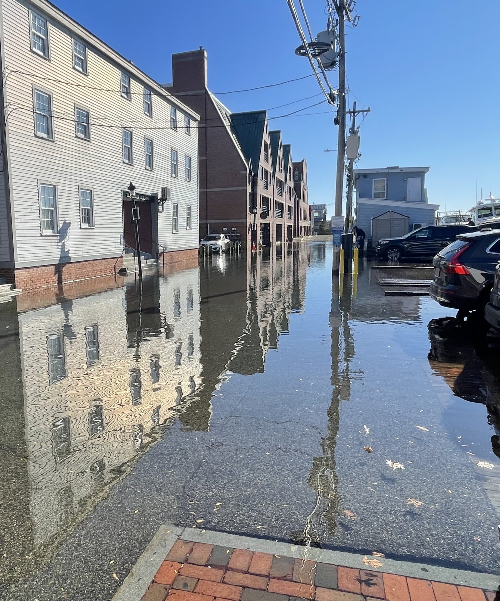
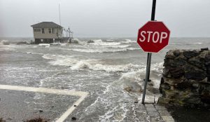
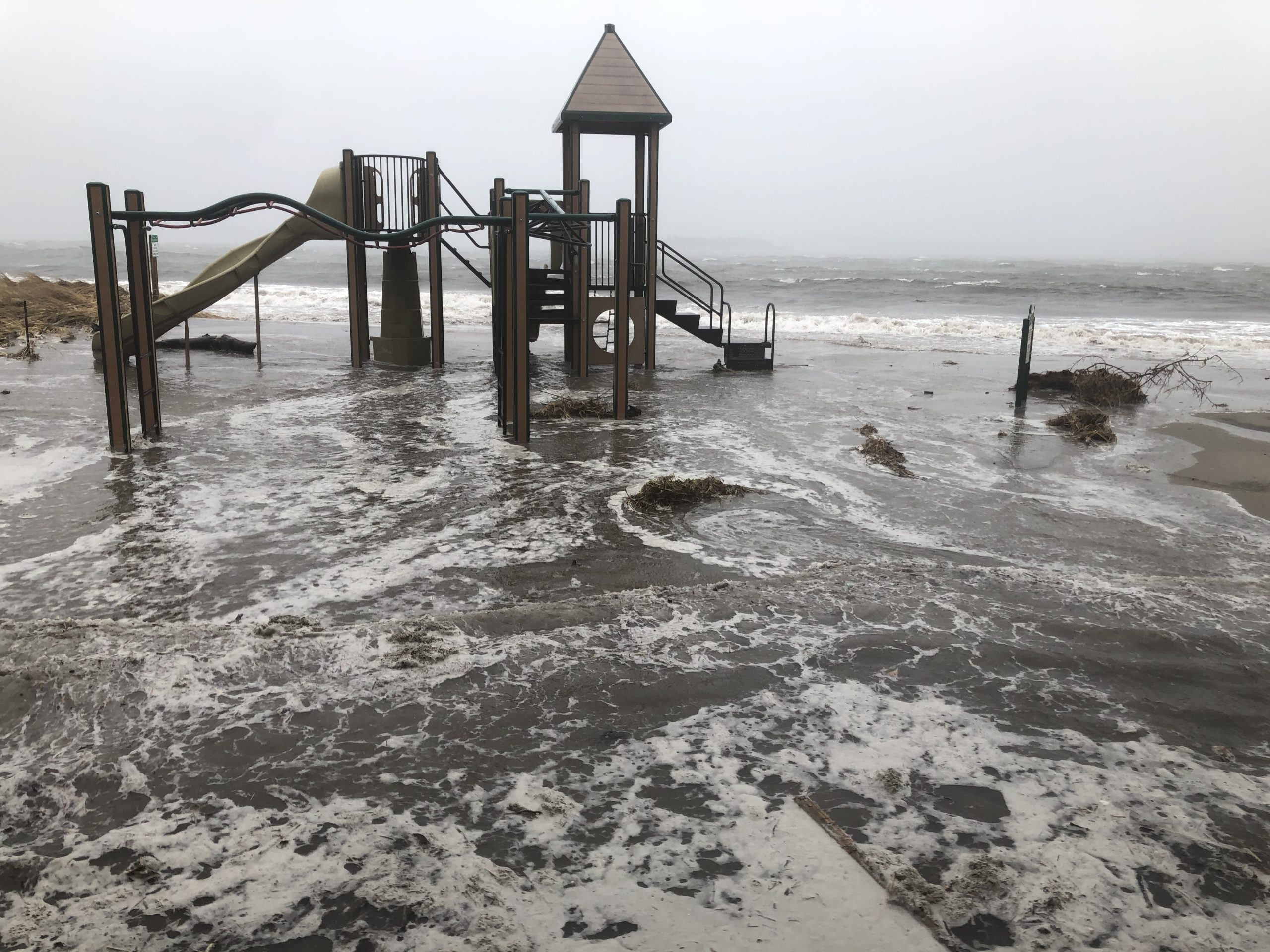
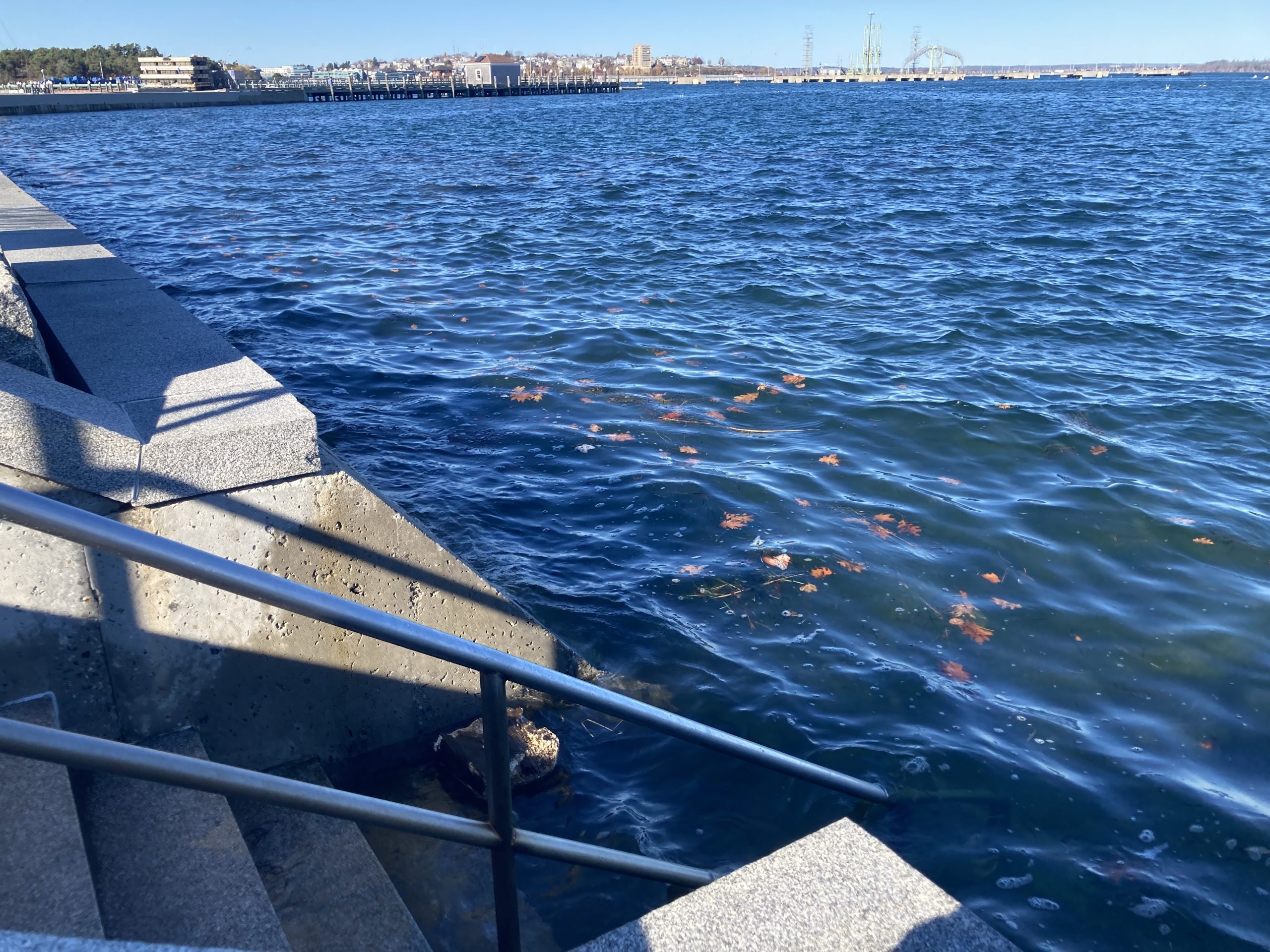
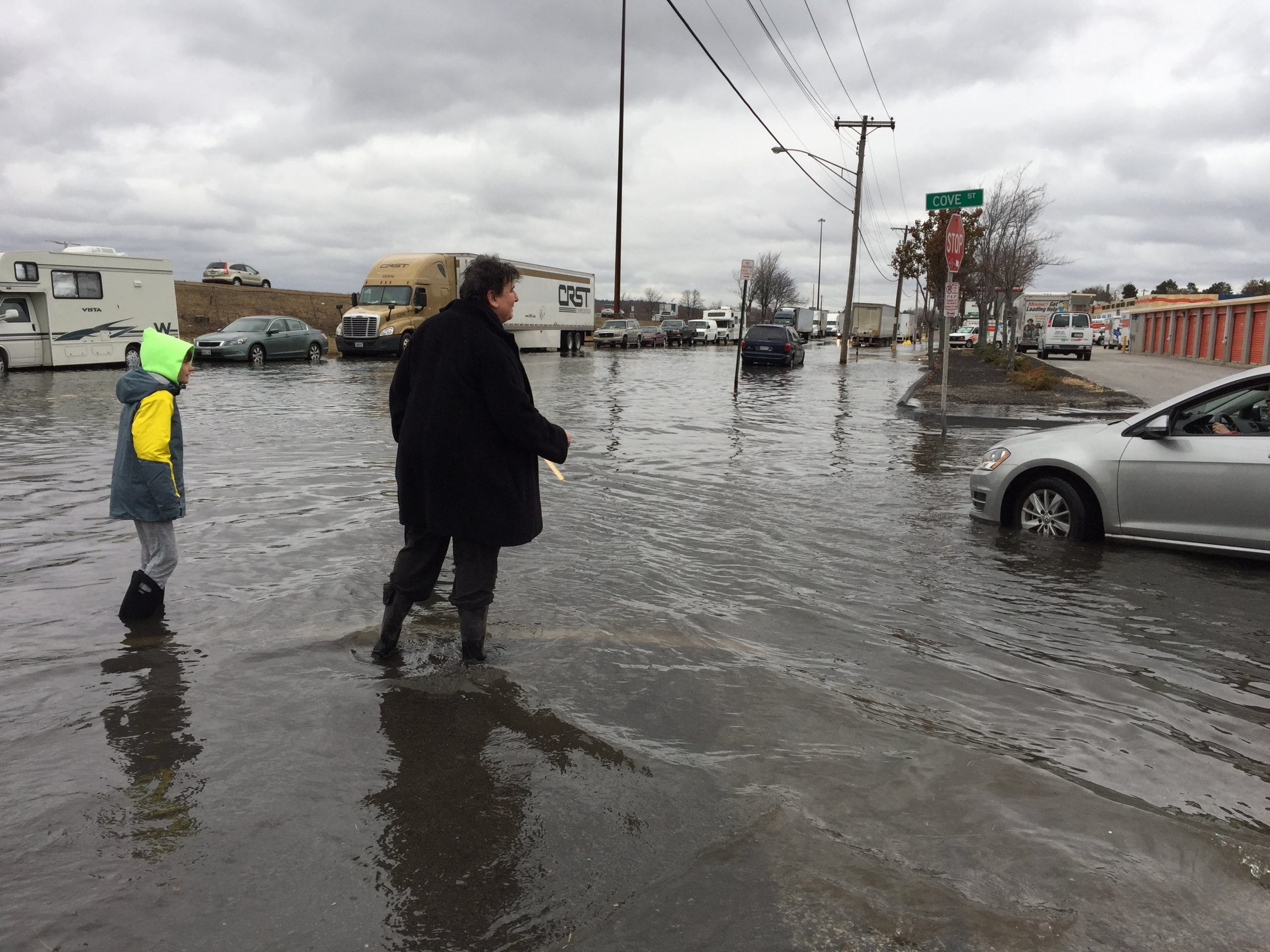
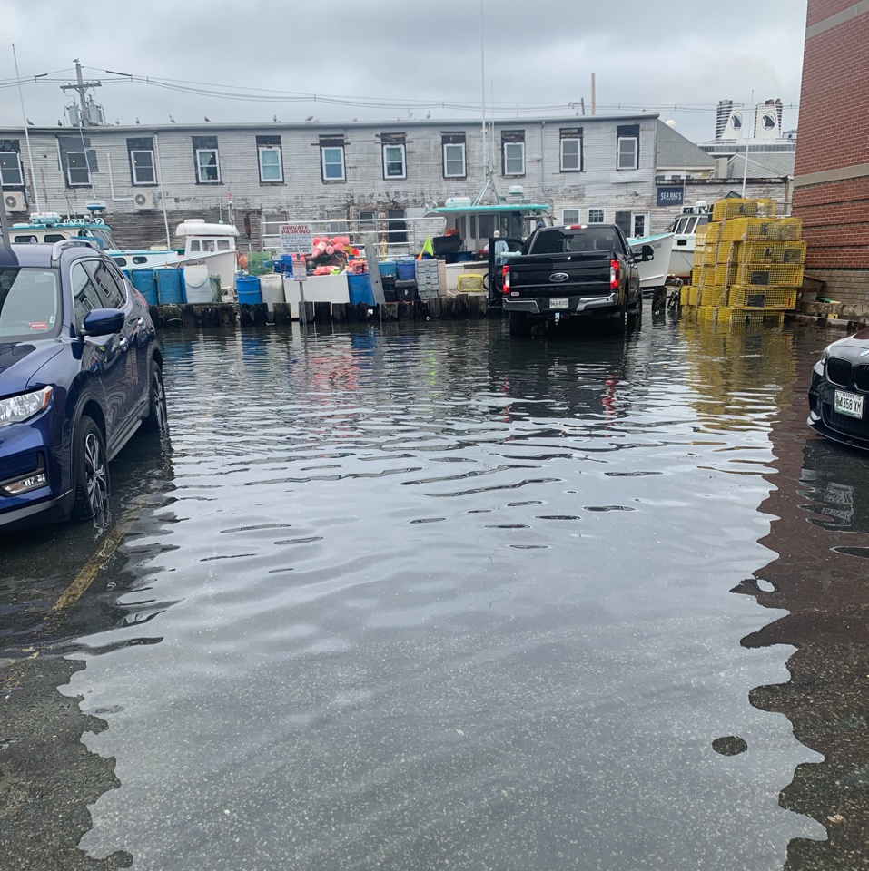
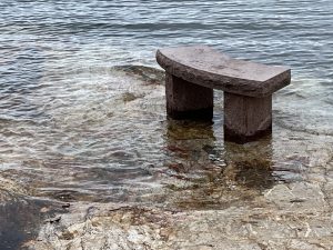
Water Reporters document high tide lines, flooded areas, and disappearing access points, especially around working waterfronts. These observations help us understand where and how rising seas are reshaping life around the Bay.

Why We Track Sea Level Rise

phone case with photo of flooded street
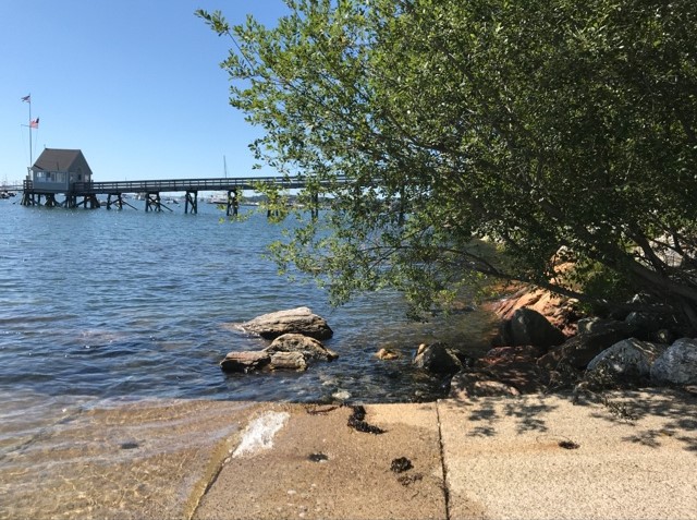
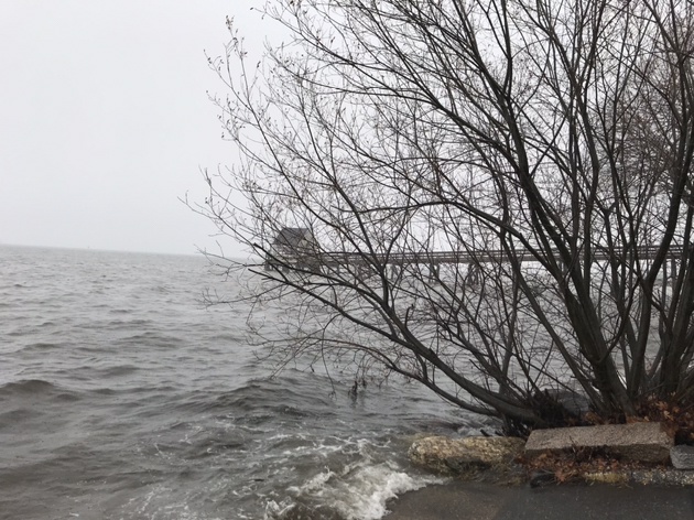
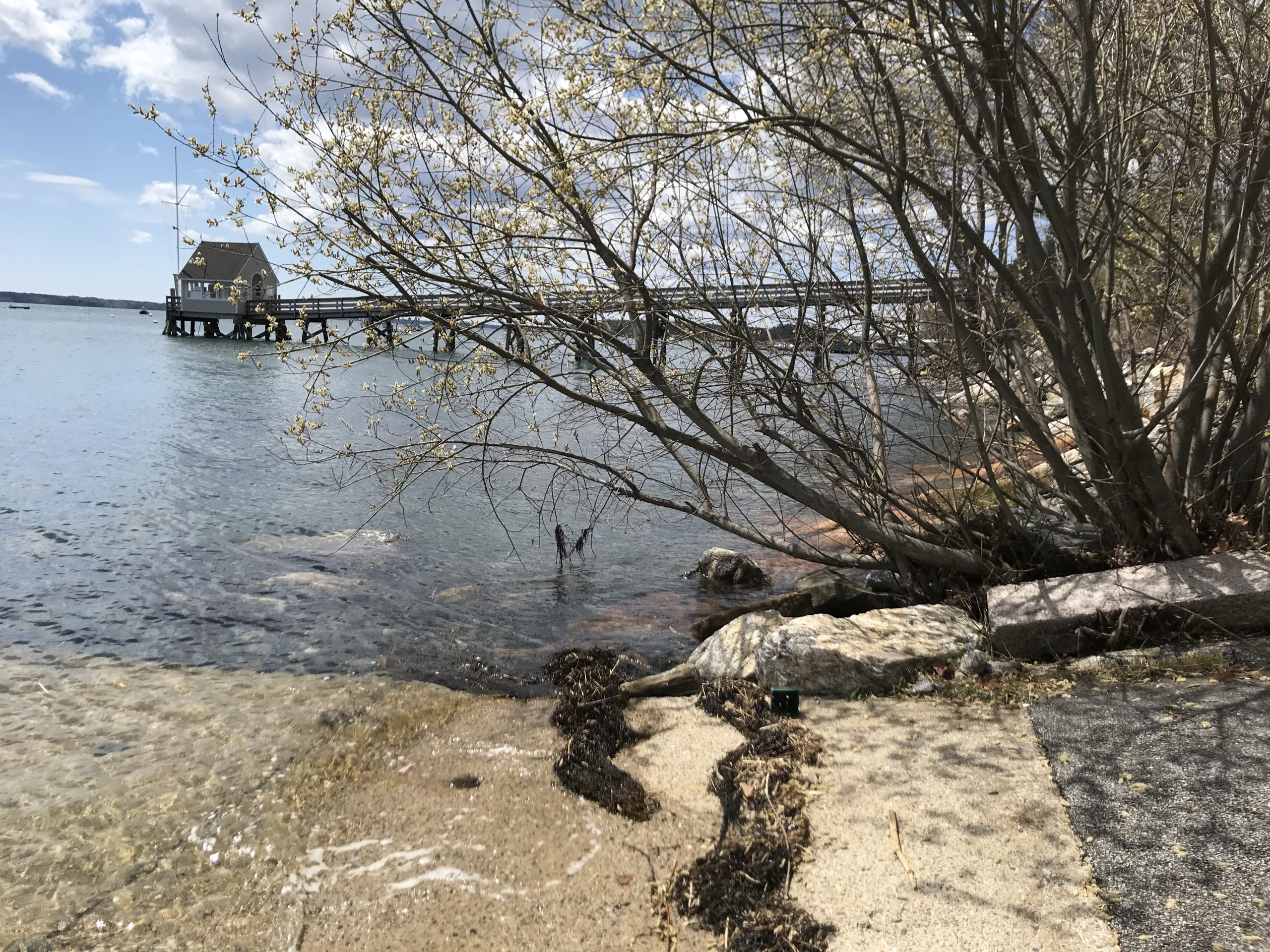
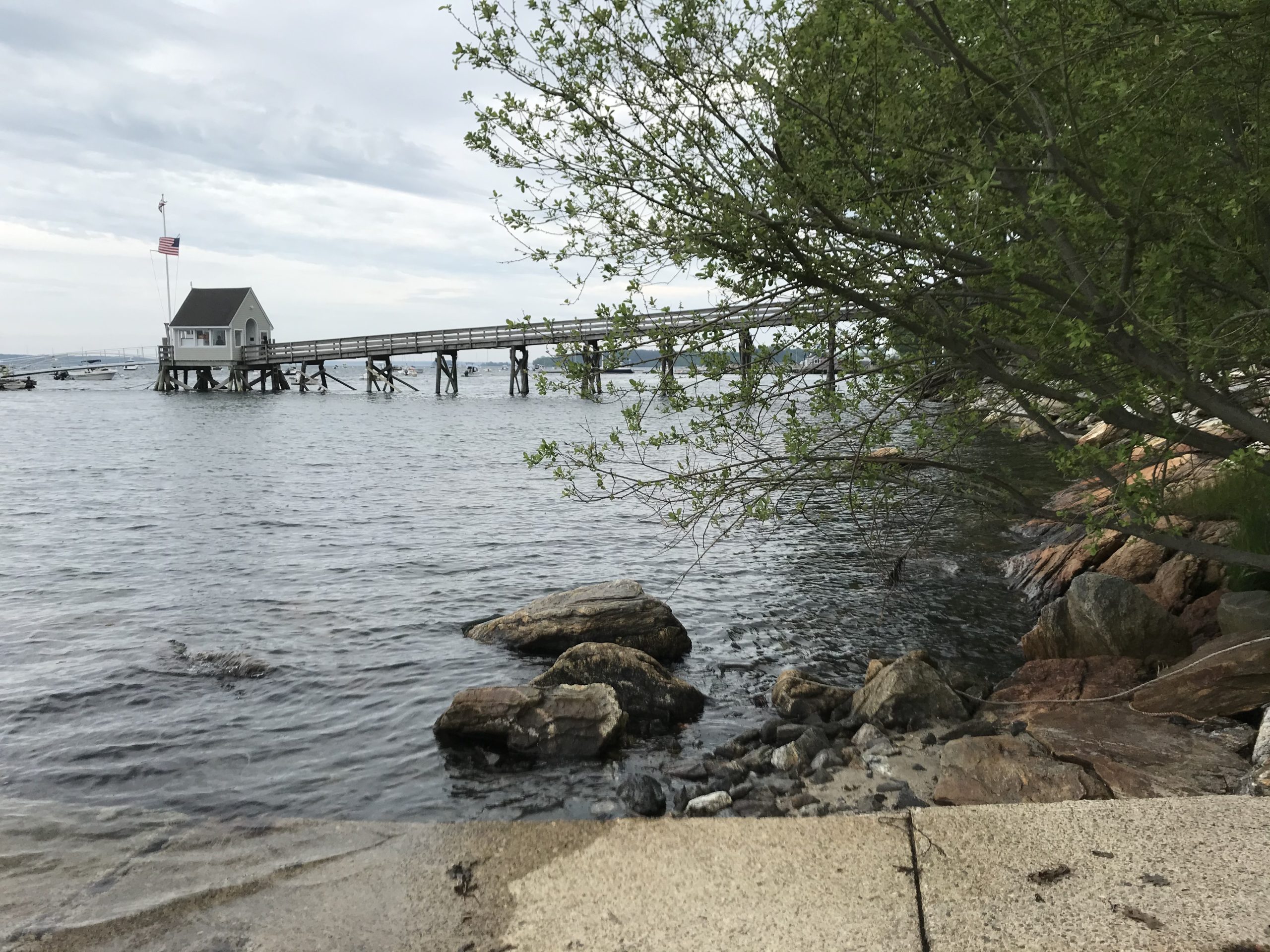
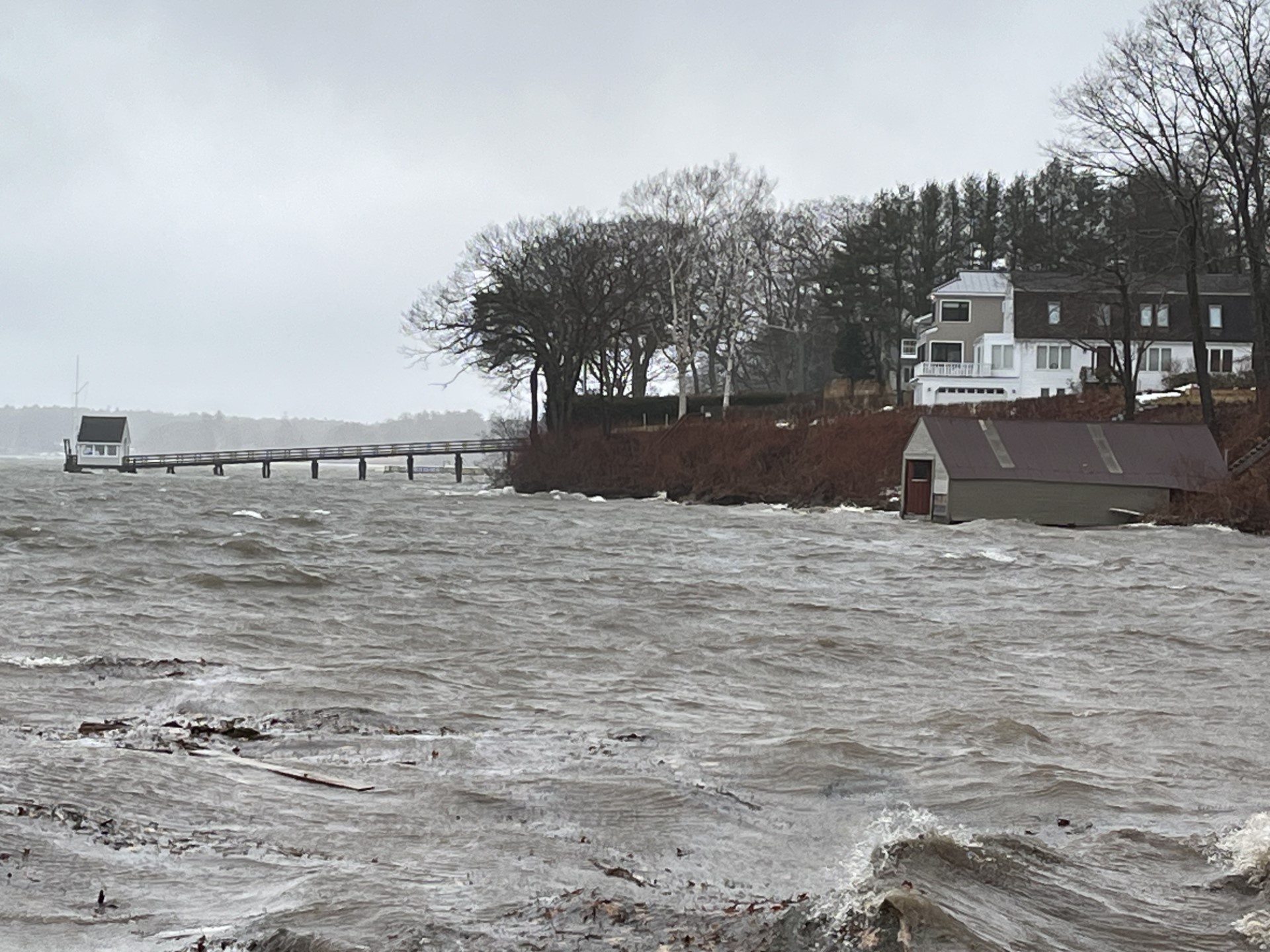
Sea level rise is already happening—and it’s accelerating. Coastal communities around Casco Bay are seeing more frequent flooding, storm surges, and damage to homes, roads, and infrastructure. Geologists predict a 3–5 foot rise in sea level over the next 100 years, with more sudden shifts possible. By documenting high tides and flooding now, Water Reporters help visualize what the “new normal” might look like and support efforts to plan for a more resilient coast.

What to Look For

Capture signs of flooding and high water, such as:

  • Water covering roads, sidewalks, or trails
  • Waves reaching seawalls, lawns, or buildings
  • Flooded parking lots or beach access areas
  • Erosion, debris, or submerged landmarks

Photos showing how close the water is to infrastructure are especially helpful. Be safe—never wade into floodwaters or put yourself at risk.

Tap or click any image to open the full gallery.

When to Document Sea Level Rise

Look for especially high tides during perigean spring tides (aka “king tides”) or after major storms. These tides are influenced by seasonal patterns and the gravitational pull of the moon and sun, along with storm surge, wind, and barometric pressure.

  • NOAA’s High Tide Bulletin offers seasonal predictions.
  • You can also check tide charts to find the exact time of high tide in your area.
  • Ideal timing: 30 minutes before to 30 minutes after high tide.
stone bench surrounded by water
Blue-sky flooding is coastal flooding that occurs on sunny or non-rainy days due to exceptionally high tides, as seen here at Falmouth Town Landing. Photo by Judith Fergin.

How to Document Sea Level Rise

Your images can help show how high tides are changing—and help us all picture what the “new normal” may look like.

  • Aim your photo down the shoreline and include a recognizable structure—like a dock, seawall, jetty, or building—for perspective. This makes it easier to return and compare images over time.
  • Stand at least two strides back from the waterline to stay safe and get a clear view.

Safety first! Never risk injury for a photo. Stay off slippery rocks and keep a safe distance from waves or floodwaters.

These photos of the Portland Yacht Club dock by Water Reporter Judith Fergin, taken over the course of five years, document a range of tides and storm surges to track sea level rise.

Tap or click any image to open the full gallery.

Learn More About Sea Level Rise