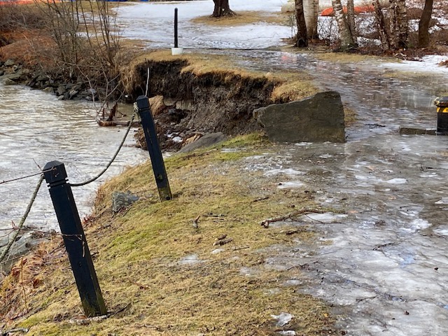
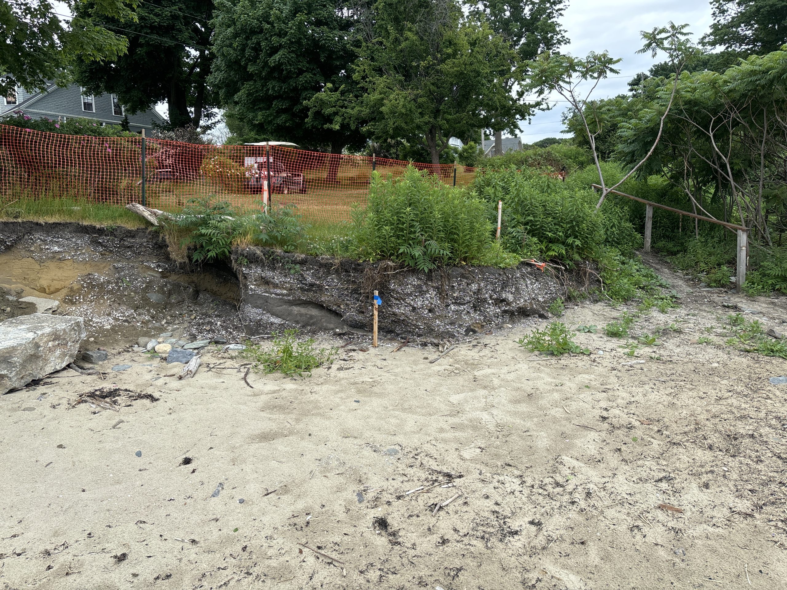
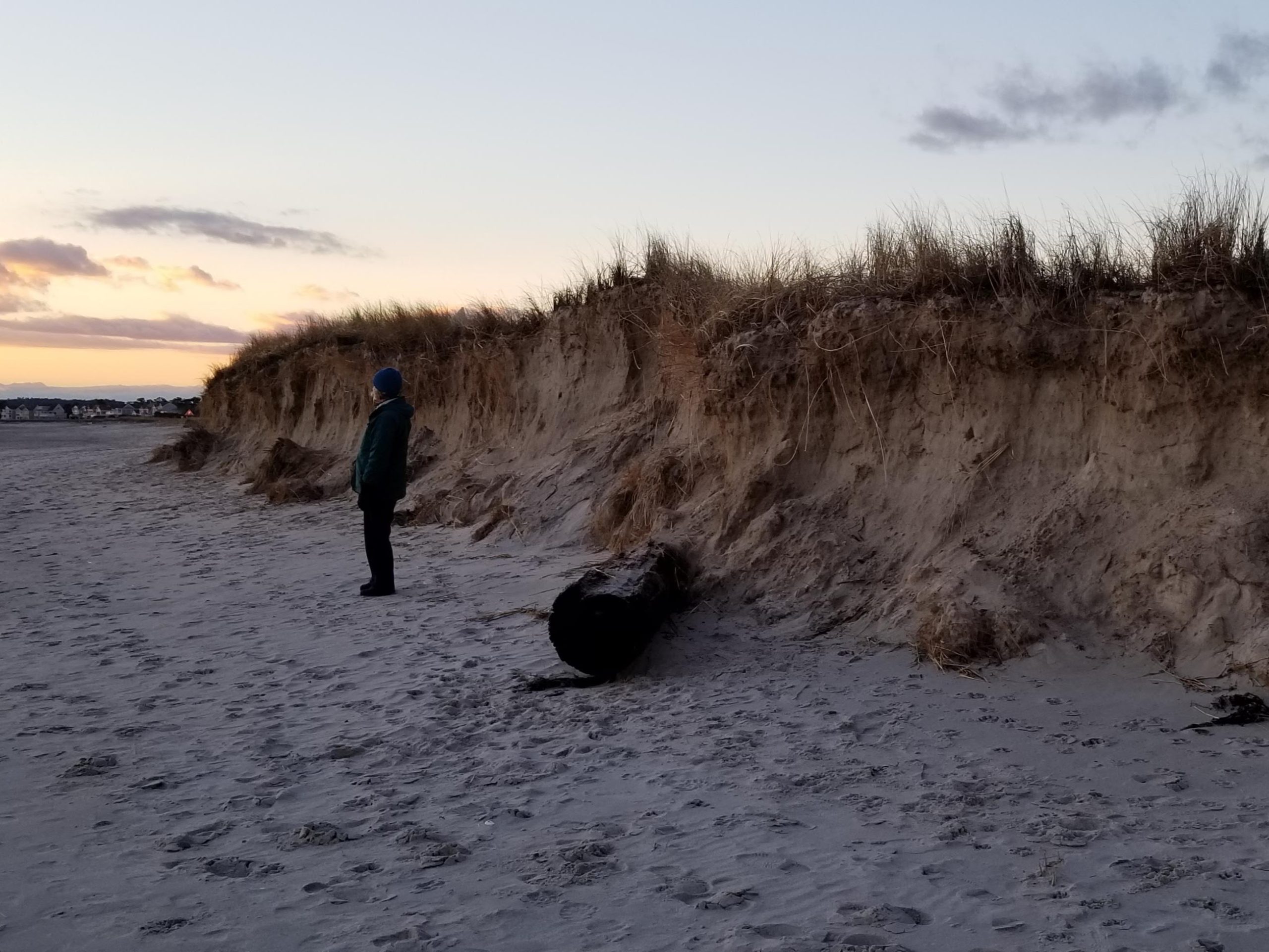
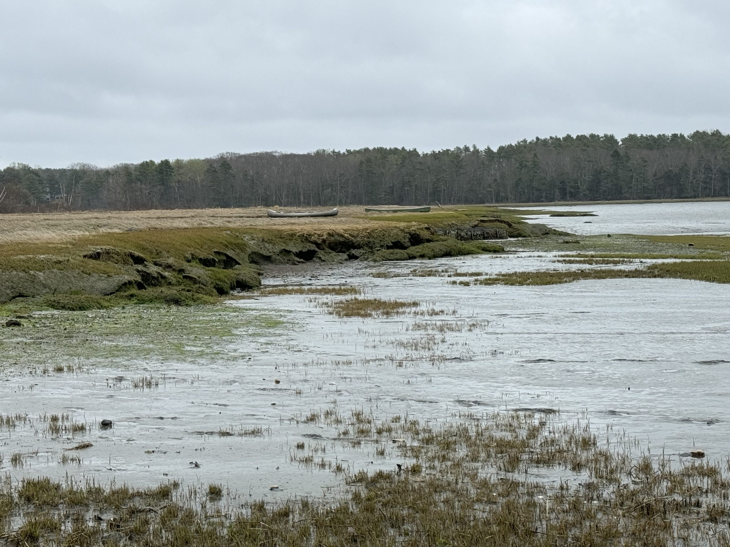
 From collapsing banks to crumbling trails, erosion leaves visible marks on the landscape. Water Reporters help us track where wind, waves, and runoff are wearing away the shoreline and threatening coastal habitats.
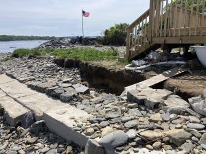
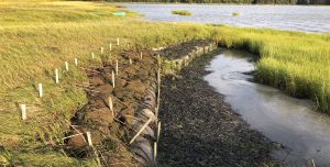
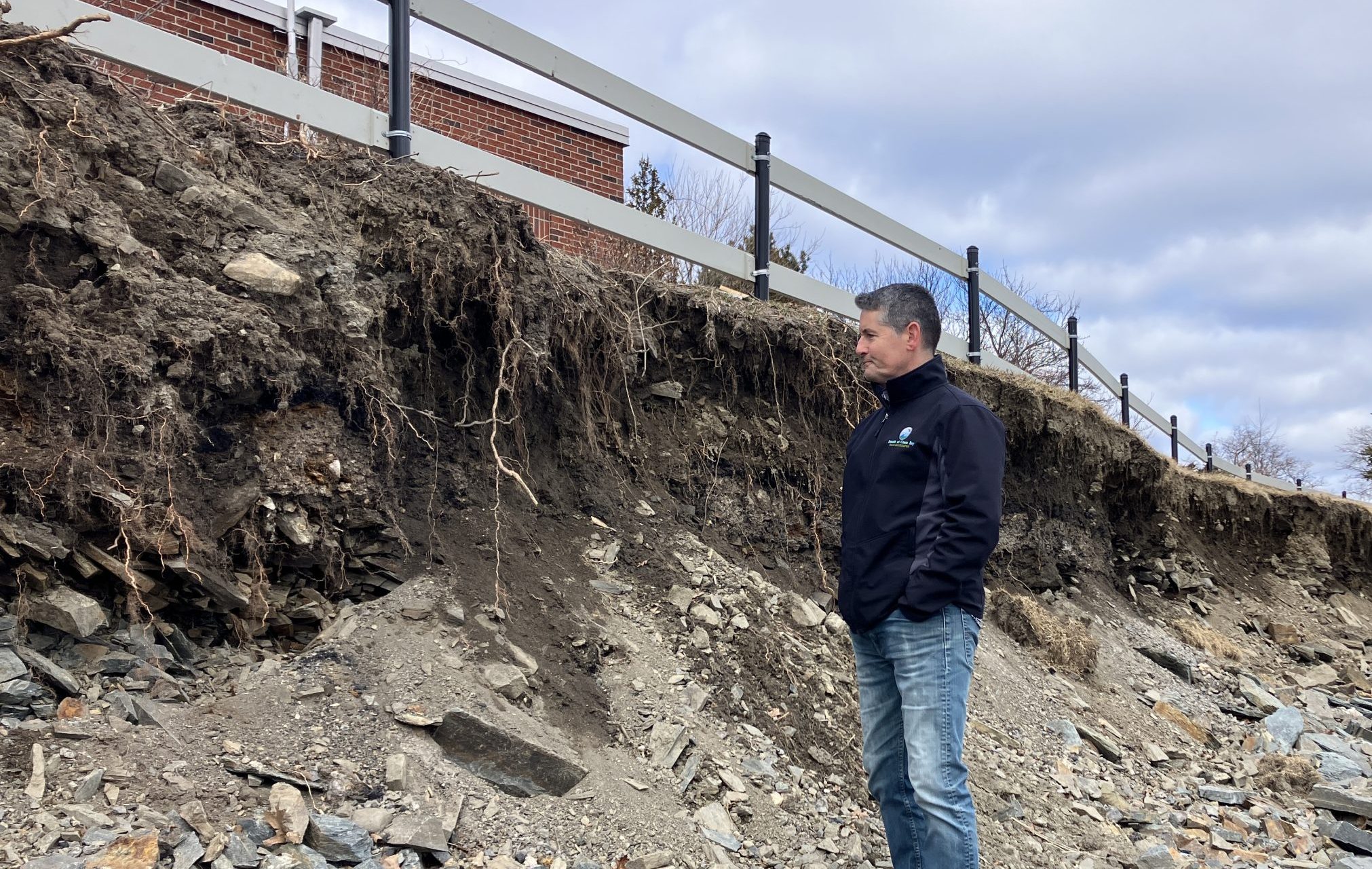
Living shorelines have been hailed as an effective nature-based solution to reducing erosion. These protected and stabilized shorelines are made of natural materials such as plants, sand, and rocks. Check out this Story Map about Living Shorelines from Casco Bay Estuary Partnership to see a few test sites around the Bay and learn how you might adopt these methods for your waterfront property.